Geospatial Health Data Modeling and Visualization
Paula Moraga has released an online book Geospatial Health Data: Modeling and Visualization with R-INLA and Shiny (under development), which describes spatial and spatio-temporal statistical methods and visualization techniques to analyze georeferenced health data in R.
The book is primarily aimed at epidemiologists, biostatisticians, public health specialists, and professionals of government agencies working with georeferenced health data.
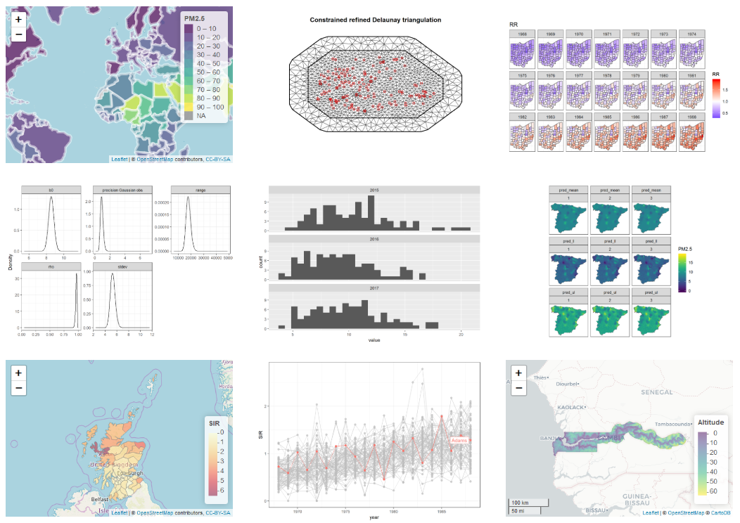
It features detailed worked examples of several disease and environmental applications using real-world data such as malaria in The Gambia, cancer in Scotland and USA, and air pollution in Spain.
According to @PaulaMoraga:
the methods discussed in the book are applicable not only to health data but also to many other fields that deal with georeferenced data, the book is also suitable for researchers and practitioners of other areas wishing to learn how to model and visualize this type of data such as epidemiology, ecology, demography or criminology.
You can find Paula Moraga on github.